Spring
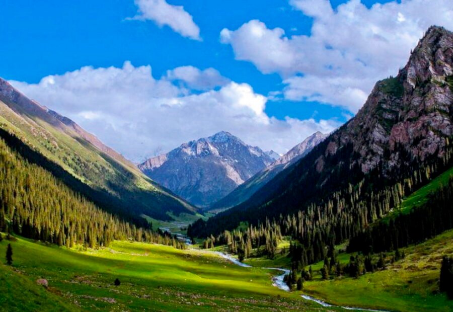
Apr – MayGreen valleys and blooming nature
A Remote High-Mountain Gateway to the Wild Ak-Sai Valley
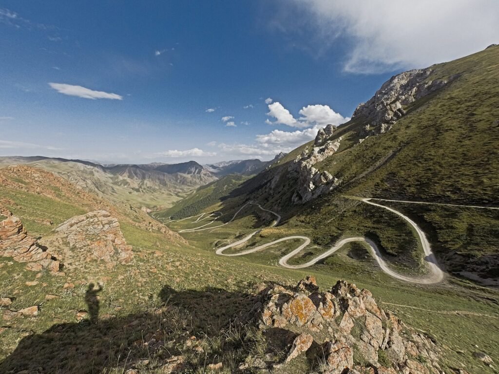
Kyndy Pass is a remote high-mountain crossing in Kyrgyzstan’s Naryn Region, linking the At-Bashy area with the vast Ak-Say Valley. The journey climbs through rugged Tien Shan terrain, offering sweeping views of alpine valleys, rocky ridges and open highland pastures. The pass forms part of the adventurous off-road route toward Kok-Kiya Valley and Kel-Suu Lake, close to Kyrgyzstan’s border with China.
Each season reveals a different side of this destination.
Green valleys and blooming nature
Perfect for hiking and exploring
Golden landscapes and fewer crowds
Snowy scenery and a magical atmosphere
Kyndy Pass is located in Kyrgyzstan. For the most comfortable journey, travel with a local guide or private transfer.
View on Google MapsPractical answers to common questions about visiting Kyndy Pass.
Kyndy Pass is located in the At-Bashy District of Naryn Region, in southern Kyrgyzstan. It forms part of a remote route from the At-Bashy area toward the Ak-Sai Valley.
The pass is approximately 3,400 metres above sea level. One detailed route description records the elevation as 3,398.1 m.
Some travel itineraries may round or approximate mountain-pass elevations, but available route sources place Kyndy Pass closer to 3,400 m. For your destination database I recommend using 3,400 m, rather than 3,500 m.
The most practical period is generally June through September, when access to high mountain valleys around At-Bashy is more reliable.
Yes. The route through Kyndy Pass and onward toward Ak-Sai is rough and remote, so a capable 4x4 and an experienced driver are strongly recommended.
Winter travel can be very difficult because of snow, ice, extreme cold and road closures. Winter access should only be considered with experienced local operators and suitable vehicles.
Yes. Kyndy Pass can be used as part of an alternative route from the At-Bashy area toward the Ak-Sai and Kok-Kiya valleys, continuing toward Kel-Suu.
Routes continuing into the Ak-Sai and Kel-Suu border areas may require border documentation. Requirements should be confirmed before departure because regulations can change.
 9Days
9Days
Magical Kyrgyzstan 9 Day Tour is a guided journey through Kyrgyzstan. This 9-day journey takes you through the wild heart of Kyrgyzstan. Ride horses…
 10Days
Nomadic Kyrgyzstan 10 Day Tour combines Kilemche Valley, Ysyk-Kol South Shore, Song-Kol. Enjoy a guided journey through Kyrgyzstan with local experiences, scenic routes and…
 11Days
Nomadic Kyrgyzstan 11 Day Tour is a guided journey through Kyrgyzstan. This 11-day expedition takes you through the wild heart of Kyrgyzstan. Ride horses…
Our team is here to help you create the perfect itinerary.