Spring
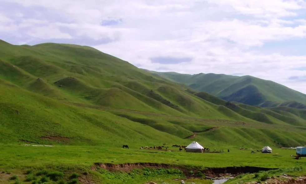
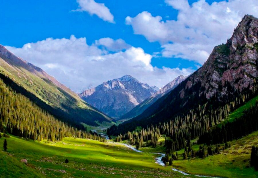
Apr – MayGreen valleys and blooming nature
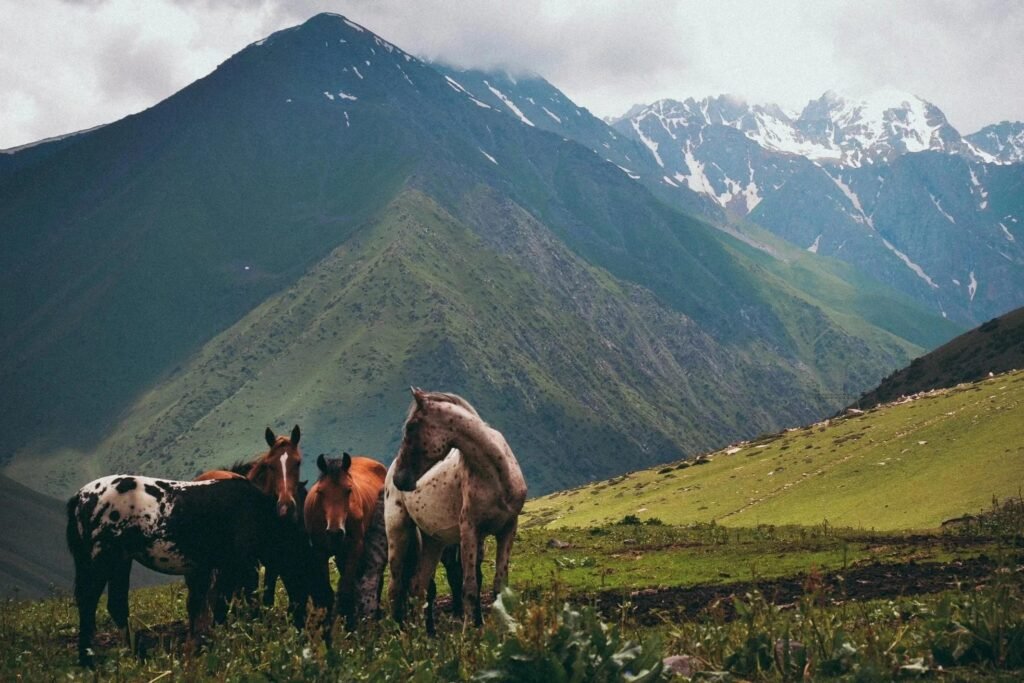
Kyzart Pass is a scenic mountain crossing in the Naryn Region of Kyrgyzstan, connecting the Kochkor and Jumgal valleys. At around 2,664 metres, the pass offers wide views of mountain ranges and open highland landscapes.
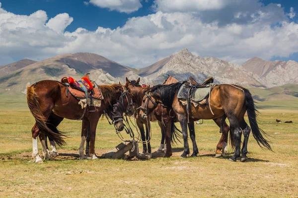
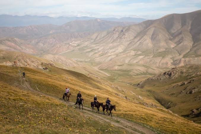
Moreover, travelers often use Kyzart Pass as a starting point for trekking and horse-riding adventures toward Song-Kol Lake. During summer, green pastures and grazing livestock create a beautiful nomadic landscape.
Therefore, Kyzart Pass is an excellent stop for mountain views, photography, and outdoor adventures. In addition, its location makes it an important gateway to some of the most scenic routes in the Naryn Region.
Plan your visit around June–September. Each season offers a different character, light and landscape.
Green valleys and blooming nature
Perfect for hiking and exploring
Golden landscapes and fewer crowds
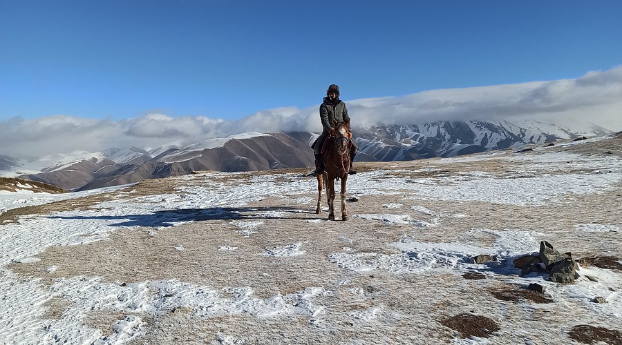
Snowy scenery and a magical atmosphere
Kyzart Pass is located in Kyrgyzstan. For the most comfortable journey, travel with a local guide or private transfer.
View on Google MapsPractical answers to common questions about visiting Kyzart Pass.
The most reliable period is June–September. Weather and road conditions should still be checked before departure.
west of Kochkor. Remote or unpaved routes are best arranged with an experienced local driver.
A guide is useful for remote routes, high-altitude trekking, border zones and places without marked trails. City and straightforward roadside visits can often be made independently.
Carry water, sun protection, layered clothing and suitable footwear. High mountain areas require warm and waterproof equipment even in summer.
Coverage varies. It is usually available in larger settlements but can be weak or absent in gorges, valleys and remote highlands.
 11Days
Nomadic Kyrgyzstan 11 Day Tour is a guided journey through Kyrgyzstan. This 11-day expedition takes you through the wild heart of Kyrgyzstan. Ride horses…
 10Days
Nomadic Kyrgyzstan 10 Day Tour combines Kilemche Valley, Ysyk-Kol South Shore, Song-Kol. Enjoy a guided journey through Kyrgyzstan with local experiences, scenic routes and…
 9Days
9Days
Magical Kyrgyzstan 9 Day Tour is a guided journey through Kyrgyzstan. This 9-day journey takes you through the wild heart of Kyrgyzstan. Ride horses…
Our team is here to help you create the perfect itinerary.